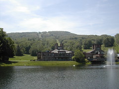
Wachusett ski area
Originally uploaded by wereldmuis.
This is my new method of searching for a hiking area: Go to google maps, center the map in my general location, and hit the terrain button. Look around for anything that looks vaguely like a high point, and zoom in there.
That's how I found Leominster State Forest, where I planned to go hiking today. I was going to do some of the local trails in the forest, but I wound up going south, on the Midstate Trail. With 92 miles of ground to cover, I figured I wouldn't run out of trail! And since I could see the Wachusett ski area nearby, I knew there had to be some substantial elevation change (relatively speaking).
No comments:
Post a Comment