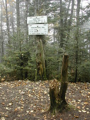
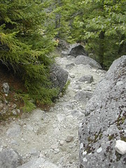
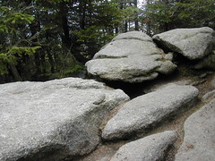
 cascade path trailhead
Originally uploaded by wereldmuis.I got started a little late, because I didn't print out a detailed map to get to the trailhead. It's not described well in the AMC White Mountain Guide, and the trail map doesn't make it clear. So here are directions to the Cascade Path trailhead.
Take Rte 93 in NH to exit 28, and follow Rte 49 northeast just about as far as it will go. Eventually, the speed limit goes from 50 to 30 mph, and you'll see signs for the Waterville Valley ski area on Tripoli Rd, to the left. Don't go there; continue straight on. At this point, Rte 49 gets confusing. A lot of this area seems like a set of private streets meandering through a condo.
You'll eventually get to a big brown sign on the right of the road, which is called "Valley Rd" here. The sign points to various attractions, including a (public) golf club, and "WVAIA" trails. Take this right. This is the confusing point. You have been following Rte 49, which is Valley Rd, and you need to continue on this road by going right. If you continue on straight, you'll be following Snow's Brook Rd, which leads off in the wrong direction.
Follow Valley Rd past a golf course and tennis courts. You'll pass Stone Tower Ln and W Branch Rd on your left - Valley Rd becomes Boulder Way around this point. Soon, you'll pass a large shed next to a ski lift, followed by a dirt parking lot. You'll want to park in the lot, as described in the AMC guide. Just beyond the dirt lot is Cascade Ridge Rd; the Cascade Path trailhead is located at the intersection of this road and Boulder Way.
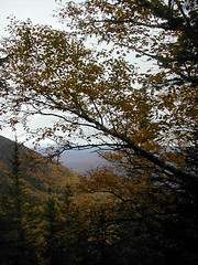
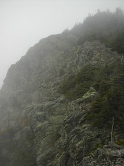
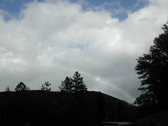
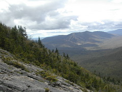
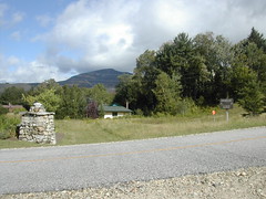
The road in this photo is Cascade Ridge Rd; you'll see this view when driving on Boulder Way in front of the parking area. This is where I started my approach to the Tripyramids.