I hiked up to Mt Pierce and Mt Eisenhower with Maggie's boy today. The forecast was about as good as it has been all summer, and it seemed like the perfect day to get the views from the summit of Eisenhower.
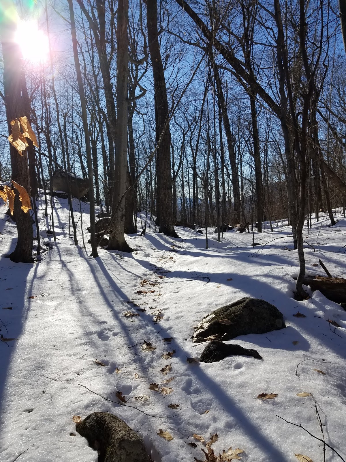
We started at the Crawford Connector. The hike up to Pierce is a steady, moderate, uphill climb through trees. You break out of the trees just below Mt Pierce, where there are spectacular views out to Eisenhower and off in the distance to Bretton Woods and Omni Mt Washington Resort.
 |
| view of Eisenhower from below Mt Pierce |
 |
| view of Bretton Woods |
 |
| "U.S. Geological Survey Marker Reference Mark" |
 |
| "U.S. Geological Survey Marker Bench Mark" |
 |
| flora in the alpine zone below Eisenhower |
 |
| view of Mt Washington from Eisenhower |
 |
| view of Eisenhower as you look back at it, heading towards the Edmands Path trail |
We carried on hiking down the Edmands Path trail. I read somewhere that this is supposed to be a very well constructed trail. It was "okay". After descending the trail for about 30 minutes, we both were getting pretty tired. This may be the longest hike I've ever taken. So even though it was fairly easy, with moderate ascents and descents, I was pretty much ready to collapse by the time we got back to the road.
Yeah - the road. We made a big loop hike that's kind of shaped like a square. You start at the parking lot, hike east up Crawford Path to Mt Pierce, hike north to Mt Eisenhower, then hike back down and west to Mount Clinton Road where there's a second parking lot. Then there's a 2.3 mile hike back south on paved Mount Clinton Road to get back to the car. I perked up once I hit the road - that was easy going! Hiking such a big chunk of the trail on tarmac definitely improved our hiking time.
You couldn't ask for a better day to do this hike. I guess it could have been a little cooler. I'm not sure what the temperature was, maybe in the seventies. It was one of those still days, hardly even a breeze, even at the summits, which is rare.
A lot of other people had the same idea as we did. We crossed paths with numerous other hiking groups, and we had to share both Eisenhower and Pierce with others. That was okay, although I prefer more solitary hikes.
I've now hiked 26 4000-footers, so I've now crossed the halfway mark, w00t! Another fantastic day in the Whites!